
Leimert Animation Studio

Leimert Animation Studio helps organizations clearly understand their own complex systems so they can make better decisions.
We use visual systems models to reveal hidden relationships, clarify tradeoffs, and uncover opportunities that are often overlooked.
Leimert Animation Studio
Complex systems
become understandable
when you can see them.
We make complex systems visible
Leimert Animation Studio (LAS) is a visual systems consultancy that helps organizations understand the structure, incentives, and dynamics shaping their decisions.
By combining economic modeling, systems thinking, and animation, LAS enables institutions to see how their systems function, identify leverage points, and make clearer, more effective decisions.
Visual Systems Strategy for Institutions
Conceptually rigorous. Structurally precise. Built for decision-making.
Warrior Richardson
Founder, Visual Systems Strategist
📞 (323) 806-3178
✉️ Animate@LeimertAnimationStudio.com
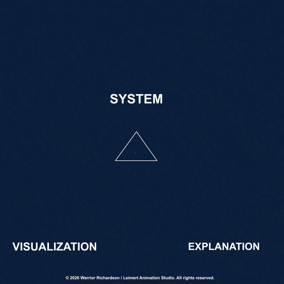
👉 “View Model”
How Leimert Animation Studio (LAS) Works:🔷
Most organizations operate within systems they cannot fully see.
LAS makes those systems visible.🔷
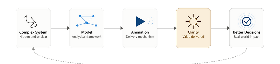
1. Model the System
We map the structure of your environment—identifying key actors, relationships, and constraints.
2. Reveal the Dynamics
We visualize how value, attention, and activity move through the system—highlighting patterns, bottlenecks, and opportunities.
3. Improve Decisions
We identify leverage points and decision pathways—so you can act with clarity and confidence.
I.e., System Structure → Incentive Logic → Strategic Decisions
Animation is not our product.
Clarity is.
Animation = delivery mechanism
Model = analytical framework
Clarity = value
Better decisions = impact
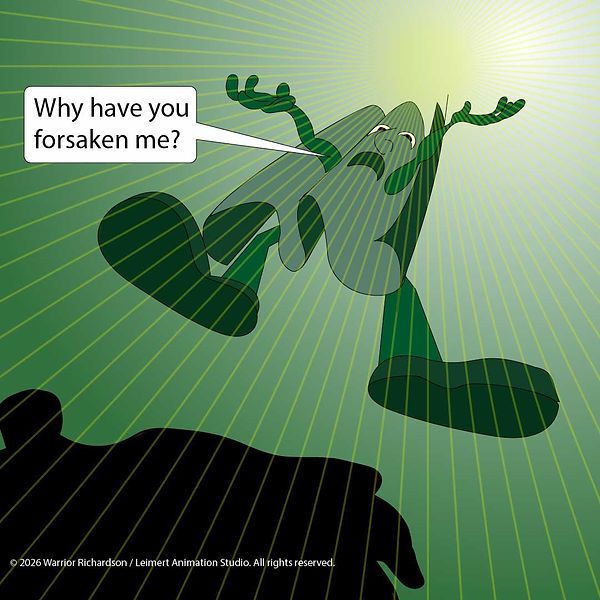
Not all systems are best understood through reports and diagrams. Some are better understood through story, satire, and allegory. The God of This World explores economics, power, desire, and systems behavior through narrative and visual satire. Click on the image below for some NARRATIVE SYSTEMS / CULTURAL SATIRE..
Public-facing systems storytelling

---------------------------------------------------------------------------------------------------
What does LAS do?
1) LAS makes complex systems understandable.
2) LAS helps organizations clearly understand their own complex systems so they can make better decisions.
3) Most organizations operate within systems they can't fully see. That makes it difficult to understand why certain outcomes occur or where the best opportunities for change lie. LAS helps organizations clearly understand their own complex systems so they can make better decisions. We combine economics, systems thinking, and visual communication to build decision-theoretic visual models that reveal stakeholder relationships, incentives, and leverage points. The result is a clearer understanding of complex problems and a better foundation for strategic decisions.